From a walk in the park to world class scenery (whatever that is), there are a great range of opportunities to get on the trails using Nelson as a base.
Waterfront trail
Let's start right in town
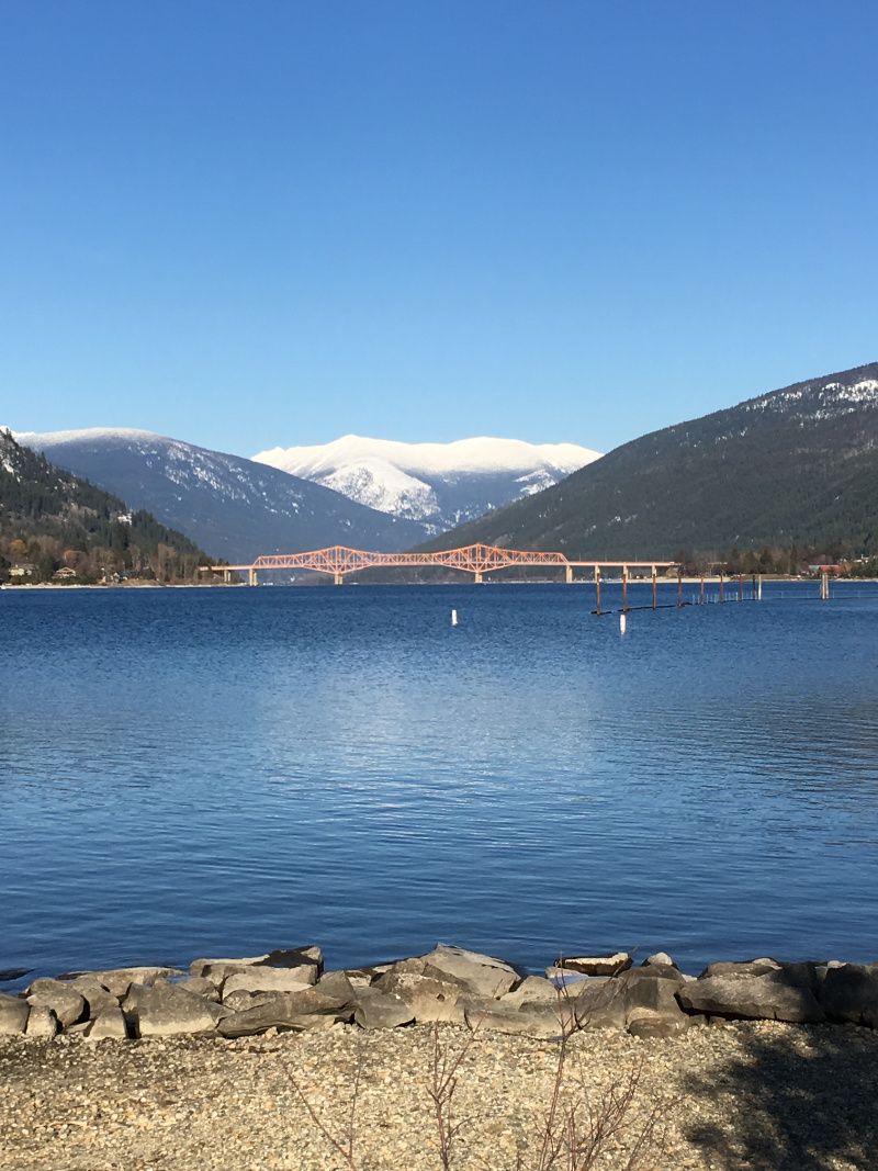
While it is generally agreed that Nelson is a very good looking place, Nature still wins the argument. So getting right down to the shores of Kootenay Lake to take in the view towards Kokanee Glacier is a wonderful way to complement time spent on Baker Street or checking out the historic architecture of the Uphill district.
If you want to avoid any driving, walk downhill from the town centre to the Prestige Resort, less than ten minutes. A substantial pier, soon to be entirely replaced (this was written in August 2021) is open to everyone. Turn right (northeast) and take the boardwalk by the marina. You may be fortunate enough to time your stroll with the 1924 vintage Streetcar which starts its lakefront round trip every half hour in front of the hotel. Either way, you will have to cross its tracks as you leave the hotel behind you, and you can always pick it up at the end of the trail.
You are now on paved sidewalk as you pass the mall, but this changes to firm gravel once you reach Duck Bay, a small inlet popular with a wide variety of waterbirds. At all points this trail is flat and accessible to everyone. By this inlet you reach the soccer fields, soon you'll be walking along the shoreline. There are plenty of places to sit, although be warned that there isn't a great deal of shade at this point. A set of washrooms splits the playing fields into two halves.
At the far end of the fields you enter Lakeside Park with its large grassy lawn and many massive old trees. The Rose Garden Cafe will give everyone something to do if you have little ones who will be very well entertained by the large playpark. This is where you will find the city beach, with a great value watercraft rental centre, designated swimming area, dock and boat launch. There is plenty of parking just outside the park if you have a member of your group who does not wish to walk but also doens't want to miss out on the ice cream at the end.
So, an easy stoll to start with. That does not apply to many of the trails and pathways in this topgraphically challenged community! Despite the lack of height gain, the views are always sublime, with the often snow-capped peak of the Kokanee Glacier way up the river to the northeast. The pathway can also be biked, but if you have a dog be aware that the Laeside Park section is out of bounds. As compensation, there is an unpaved dog walk area at the opposite end of the trail (as described), just turn left at the Prestige Resort instead of right.


Burlington North Rail-trail
The easiest way to get out of the city
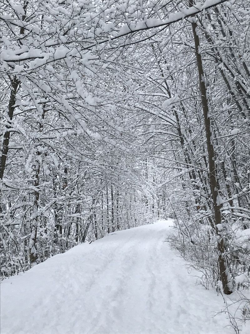
A classic railbed outing, so good for the whole family, bikers, strollers and the dog as well. The Nelson and Fort Sheppard railway, opened in 1893, was part of the Spokane (USA) to Seattle railway complex. It was abandoned as mining ran out of steam in Nelson and the surrounding areas, and was aconverted to the Salmo to Troup trail in the late 1990s. The odd remnant of the early history of the line can be seen scattered at the side of the railbed from time to time in the form of iron pegs and joints, but the trains are long gone. Today, it is a places for a contemplative sojourn from the city. There are a number of access points from Nelson. However, as it is a long 23-block uphill slog from Baker Street along Stanley Street it is perhaps best to drive to either Mountain Station or Tenth Street.
Mountain Station (it was once the city station, the closest the trains could get to town) is what you might call the middle of the Nelson part of the trail. There is ample parking but no washrooms. Both directions. This starting point is the best for a semi-urban walk as both left and right skirt along the upper fringes of the city limits, although most of the time buidlings are hidden below the trees.You'll get the odd view down to the river but it is feels like you are more in a forest than on the outskirts of a busy towm. Mountain Station is also the jump-on point for bikers aining to get up into the network of single-track closest to town (https://www.nelsoncyclingclub.org/trails).
If you elect to go to the Svoboda Road pullout just above Tenth Street and turned left (north east) you will soon find youself leaving the city over your shoulder as you descend ever-so-gently towards the river and Troup, the place where the railway line used to connect to lake steamships to trade cargoes. Nowadays, this is just a little stretch of golden sand, popular with boats that pull up for a swim or an overnight campl. It is just over 5km one way from the parking area. This part of the rail bed passes over a couple of spectacular tressle bridges; if you looking for peace and quiet, this optoin gets the walker out into the woods more quickly than the other way, which would be heading left from Mountain Station.
The whole length of the rail trail is an easy walk - it never inclines more than about 2 percent because of the capabilities of the trains it was designed for. For reference it rises from left to right as you look uphill from Nelson.
See Our StoryPulpit Rock
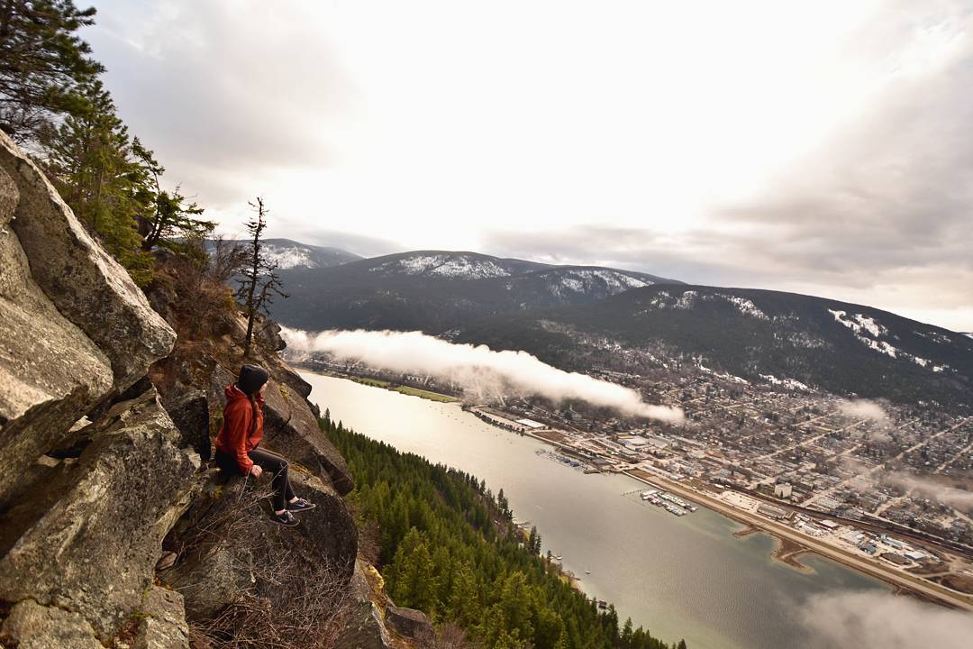
Quick hike with superb view over the city
One of the more pupuar hikes in the entire region due to its proximity to Nelson and simple, no forestry road ease of access.
Directly across from the city lies the North Shore and Johnson Road which hosts the trailhead for the climb to the Pulpit, a carbunkle of rock protruding from the lower slopes of Nelson Mountain. This acts as a useful viewing platform/coffee stop/pic-nic spot/social rendezvous and is the location of many a photo back over the river to the surprsingly compact town and backdrop of its guardian Selkirk Mountains.

Want to learn more about hiking in the West Kootenays, British Columbia? Visit 10adventures to learn more and plan your trip!

